Contact & Access

Location and access to the campsite in Hautes-Pyrénées
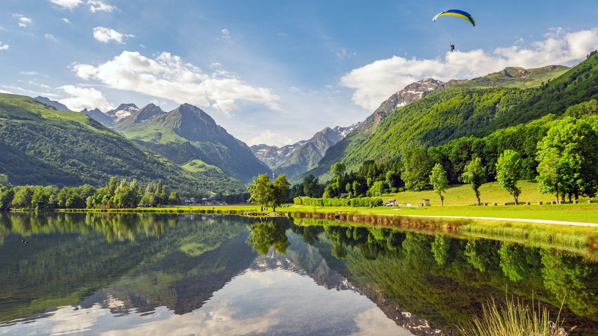
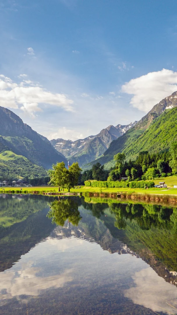
The 3-star L’Arriou campsite is located around 20 km south of Tarbes, close to the Pic du Midi. It is ideally situated for visiting Lourdes, the Pyrenees National Park, the Gavarnie cirque and other major attractions in the Hautes-Pyrénées. It’s also just a short drive from Bagnères-de-Bigorre, a village famous for its thermal waters, and the Luz-Ardiden ski resort.
Other routes to the campsite by car :
- From Paris (864 km, 8 hours): A10 to Orléans, A71 to Vierzon, A20 to Toulouse, A64 to Tarbes. Take exit 14, then the D20 to Bagnères-de-Bigorre and follow Beaudéan.
- From Montpellier (385 km, 3h55): A9 to Narbonne, A61 to Toulouse, A64 to Tarbes. Take exit 14, then the D20 to Bagnères-de-Bigorre and follow Beaudéan.
- From Lyon (682 km, 6h28): A7 to Avignon, A9 to Narbonne, A61 to Toulouse, A64 to Tarbes. Take exit 14, then the D20 to Bagnères-de-Bigorre and follow Beaudéan.
- SNCF train stations close to the campsite: Campan, Lourdes, Tarbes.
By air: Toulouse-Blagnac or Tarbes-Lourdes-Pyrénées airports.
Here’s how to get to Camping l’Arriou in the Hautes-Pyrénées.
- From Bordeaux or Toulouse, on the freeway, take exit 14: Tournay / Bagnères-de-Bigorre
- Follow signs for Bagnères-de-Bigorre.
- Once in Bagnères-de-Bigorre, follow signs for Campan / La Mongie
- Beaudéan is located 5 km from Bagnères-de-Bigorre
- In the village of Beaudéan, l’arriou campsite is situated downhill on your left.
Have a good trip…
In order to respond to your request concerning our Hautes Pyrénées campsite, please complete the form below with your personal details.
We will contact you as soon as possible.
Contact us form
Your telephone number is only collected so that we can respond to your request or contact you about your stay. It will not be used for commercial purposes. If you wish, you can also protect your number by registering it on the Bloctel list: www.bloctel.gouv.fr
How to get to Camping l’ARRIOU
A getaway in the heart of the Hautes-Pyrénées
Campsite L’arriou
Campsite at the gateway to the Pyrenees National Park
and at the foot of the Pic du Midi
133 route des Cols – 65710 Beaudéan
Hautes Pyrénées / Occitanie – France
GPS coordinates
Latitude :
43.02567144744397
Longitude :
0.17052778211191288